BIA, PPL & ATPL revision
PPL: Revising Meteorology Effectively
By ForAllPilots · Published · 4 min read
Reviewed and approved by the site's editor before publication. Our method (FR)
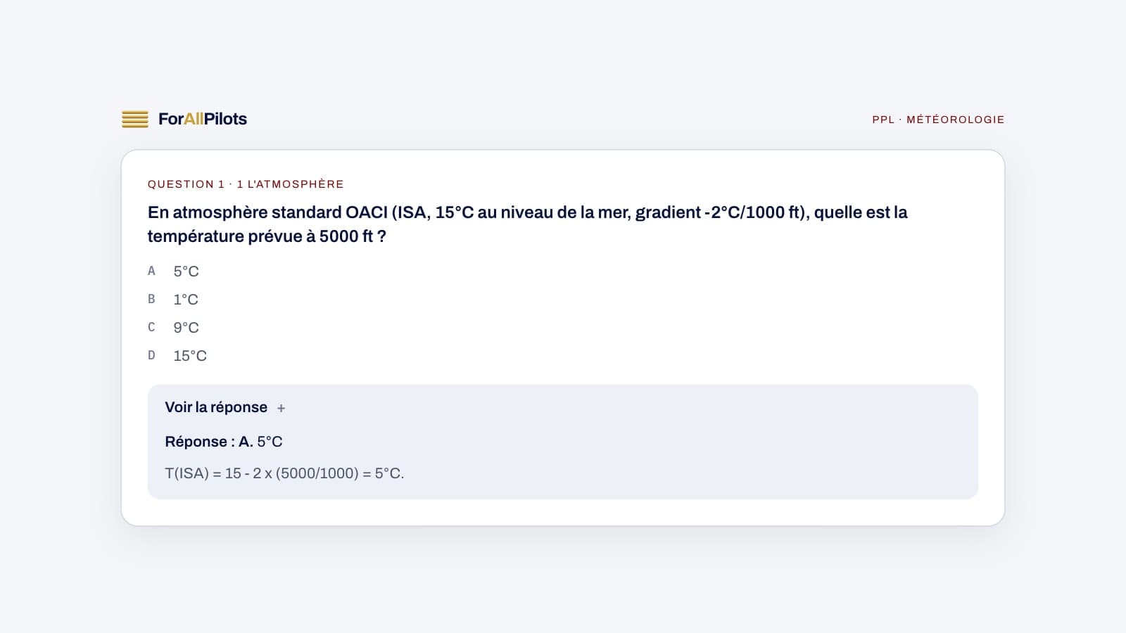
PPL Meteorology is a subject many candidates dread, as it combines the physics of the atmosphere with the reading of coded documents. Yet it rewards those who take the time to understand the underlying mechanisms rather than learning by rote. Here's how to approach it step by step, avoid the classic mix-ups, and train effectively.
What the Meteorology syllabus covers in the PPL
PPL Meteorology covers the atmosphere and how it generally behaves: pressure, temperature, humidity, air stability and air masses. It also includes clouds, precipitation, local winds and the phenomena that directly affect VFR flight, such as fog, turbulence and icing.
A second important part concerns phenomena that are hazardous for the VFR pilot: thunderstorms, wind shear, in-flight icing and reduced visibility. Finally, the subject includes reading operational documents: METARs, TAFs, upper wind charts and significant weather charts. This last part is often the one that requires the most practice, since it relies on codes to be decrypted rather than on intuitive physical logic.
Contrary to what some may think, PPL Meteorology doesn't require complex calculations. Above all, it requires understanding chains of cause and effect: why air rises, why a cloud forms, why wind changes direction near terrain. Once these mechanisms are understood, the vocabulary and the codes become much easier to remember.
The concepts most often confused
The most common confusion concerns the stability and instability of air. Many candidates mix up the conditions that favour each one, when in fact everything hinges on comparing the atmosphere's actual temperature lapse rate with the one followed by a rising or sinking parcel of air. Until this principle is clear, questions on clouds, thunderstorms or turbulence remain difficult to approach logically.
Another classic point of confusion involves the types of fog. Radiation fog, advection fog and upslope fog don't form under the same conditions, and candidates tend to memorise them without distinguishing their actual causes. The same applies to air masses and fronts: a warm front and a cold front produce very different weather, but confusing the two is common if you don't picture the vertical cross-section of the phenomenon.
Finally, reading METARs and TAFs is often problematic, not because of the code itself, but because candidates fail to connect what the document says with what it actually means for a flight. Knowing how to decode a wind group isn't enough if there's no thought given to its real impact on flight preparation.
Common mistakes on exam day
The first mistake is learning definitions without linking them together. A candidate may be able to define a cumulonimbus without understanding why it forms within an unstable, moisture-laden air mass. This fragmented approach makes multi-part questions, which combine several concepts at once, much harder to solve.
The second common mistake is neglecting local phenomena such as sea breezes, valley effects or the influence of terrain on wind. These topics may seem minor, but they come up regularly, as they are directly linked to VFR flight safety.
A third classic mistake involves quickly reading weather codes. Under time pressure, some candidates mix up units, read a wind group too fast, or misread the time expressed in UTC. Training regularly on a variety of examples significantly reduces this type of careless error, which has nothing to do with a lack of knowledge.
A progressive revision plan
Start with the physical basics of the atmosphere: pressure, temperature, humidity and stability. This foundation underpins the understanding of everything else, so don't skim over it even if it seems less tangible than clouds or weather codes.
Continue with clouds, precipitation and hazardous phenomena, taking the time to visualise each situation rather than memorising a list. Systematically link each phenomenon to the atmospheric condition that causes it: this makes medium-term retention much easier.
Then move on to air masses, fronts and typical weather patterns, before tackling the reading of METARs, TAFs and wind charts, which requires repeated practice on a range of examples. Finish your preparation with revision sessions that mix all these topics together, to get used to questions combining several subjects at once, as is often the case in the exam.
How to train with ForAllPilots
On ForAllPilots, PPL Meteorology is first tackled through MCQ sets organised by topic, allowing you to progress concept by concept before mixing subjects together. Flashcards are particularly useful for fixing vocabulary and codes in memory, such as METAR groups or the symbols used on significant weather charts, which require repeated memorisation.
Once the basics are in place, timed mock exams allow you to tackle questions that combine several concepts and to practise reading weather codes quickly, without wasting time under the pressure of the clock. The detailed results after each set or mock exam help identify topics that are still weak, so you can target your next revision sessions.
The site's free glossary rounds out this preparation nicely, serving as a quick reference to check a definition without interrupting an MCQ set. If a concept remains unclear after several revision sessions, the AI Instructor lets you ask a specific question in writing and get a targeted explanation, any time of day.