BIA, PPL & ATPL revision
Aviation Weather: Stations, Animated Radar and Hour-by-Hour Forecasts in the Pilot Corner
By ForAllPilots · Published · 3 min read
Reviewed and approved by the site's editor before publication. Our method (FR)
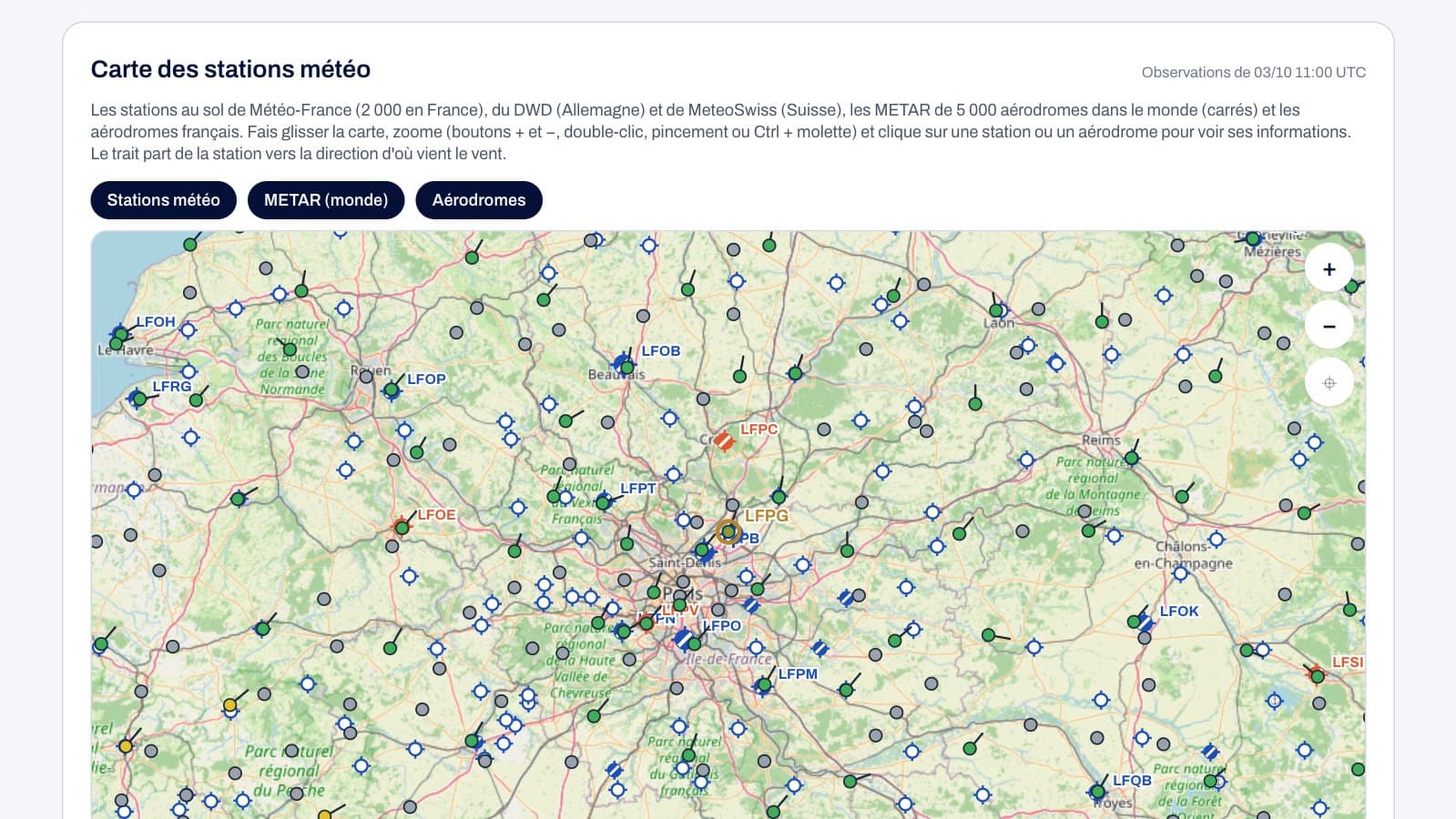
Reading a METAR is good; understanding what's happening around the aerodrome is better. The Weather tab of ForAllPilots' Pilot Corner now brings together, around the aerodrome you're searching for, ground station observations, a precipitation radar with its latest images in animation, and 7-day forecasts, broken down hour by hour. All of it is free, on the website as well as in the iPhone app.
A map of weather stations, in France and beyond
The station map plots around 2,000 Météo-France ground stations, stations from the German weather service (DWD) and MeteoSwiss, as well as METARs from some 5,000 aerodromes worldwide, shown as squares. Each station carries a line pointing in the direction the wind is coming from and a colour according to its strength; you can drag the map, zoom in, and tap a station to see its latest observation: wind and gusts, temperature and dew point, humidity, QNH, visibility and rainfall over the last hour.
Stations are especially valuable where the aerodrome doesn't publish a METAR: an uncontrolled airfield often has a Météo-France station just a few miles away. French aerodromes also appear on the map with aeronautical chart symbols (hard-surface runway, grass strip, heliport, seaplane base, military airfield).
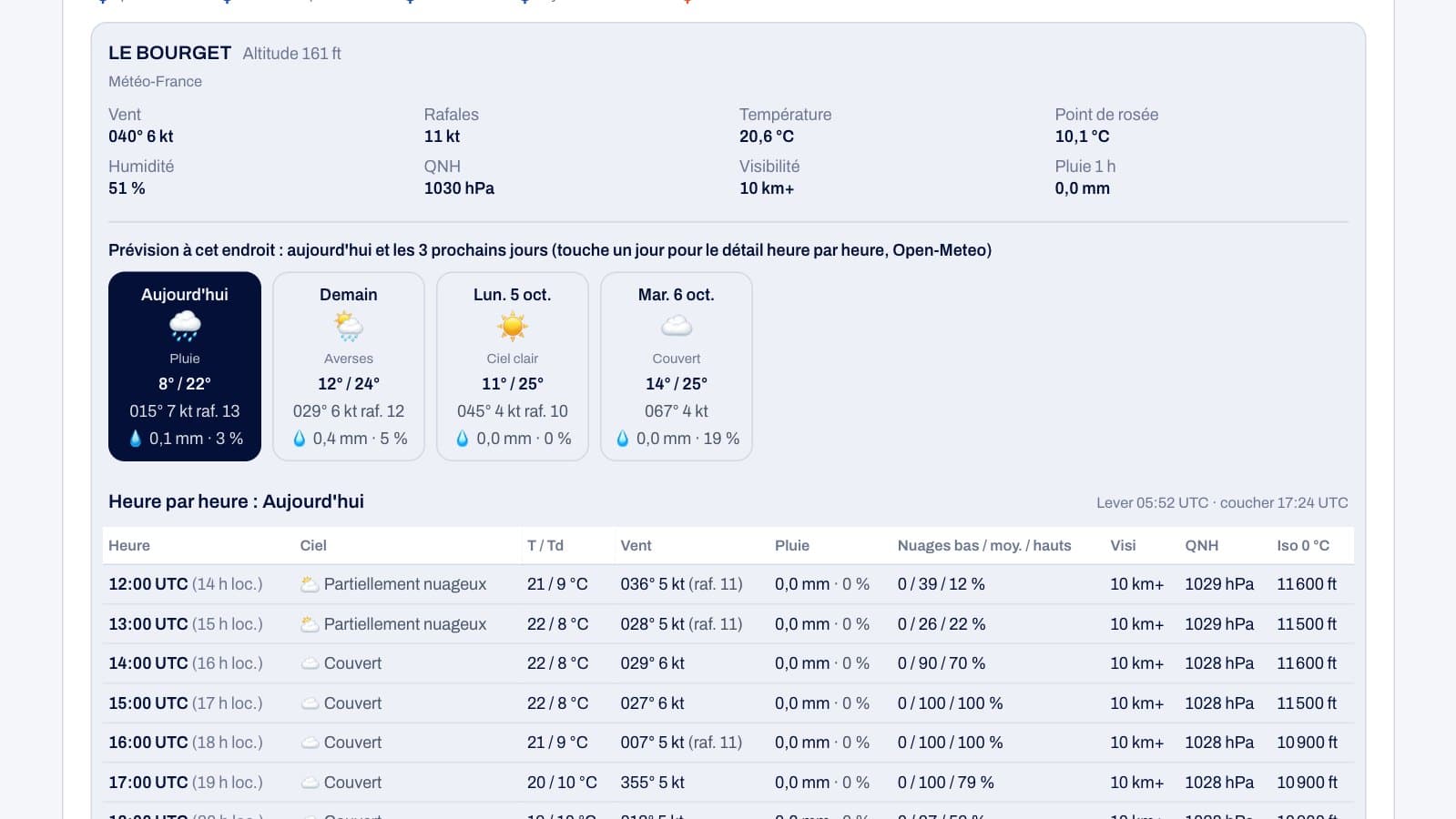
The forecast at the chosen location
When you tap a station or an aerodrome, the forecast for that location appears below: today and the following three days, then an hour-by-hour breakdown for the selected day. For the aerodrome you searched for, a 7-day forecast block shows, for each day, sky conditions, temperatures, wind and gusts, rainfall and its probability; tapping on a day reveals its hours, in UTC with local time alongside, along with low, mid and high cloud layers, visibility, QNH and the altitude of the 0 °C isotherm.
These forecasts come from numerical models (GFS, ECMWF and Météo-France via Open-Meteo). They help you get a sense of the trend, but they do not replace a TAF or the official briefing.
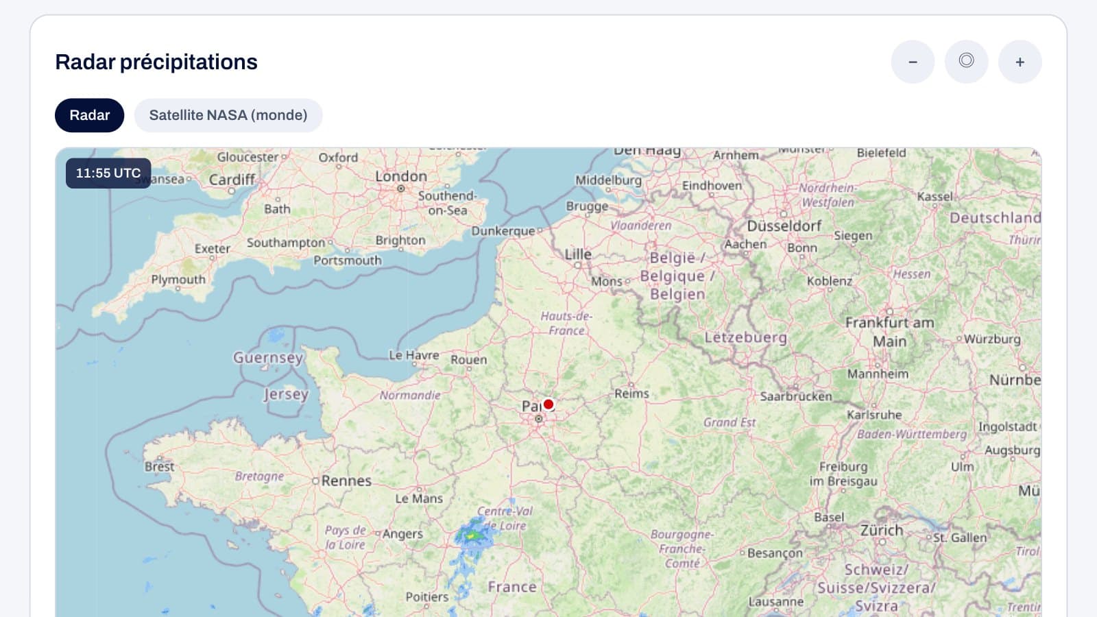
An animated, movable precipitation radar
The radar shows precipitation around the aerodrome, and its last six images play in sequence so you can see the movement of showers, with a pause button and a slider to step back through the images one by one. The map can be moved with a finger or mouse and zoomed with a pinch gesture or the on-screen buttons.
The source depends on the location: in France, the Météo-France radar mosaic for the most recent image and the EUMETNET OPERA European composite for earlier images; in Europe, OPERA; in the United States, the NOAA mosaic; elsewhere, RainViewer. A button switches instead to NASA's satellite precipitation estimate, available anywhere in the world, including over the sea, with a delay of a few hours.
The vertical profile, the decoded METAR and aeronautical daylight
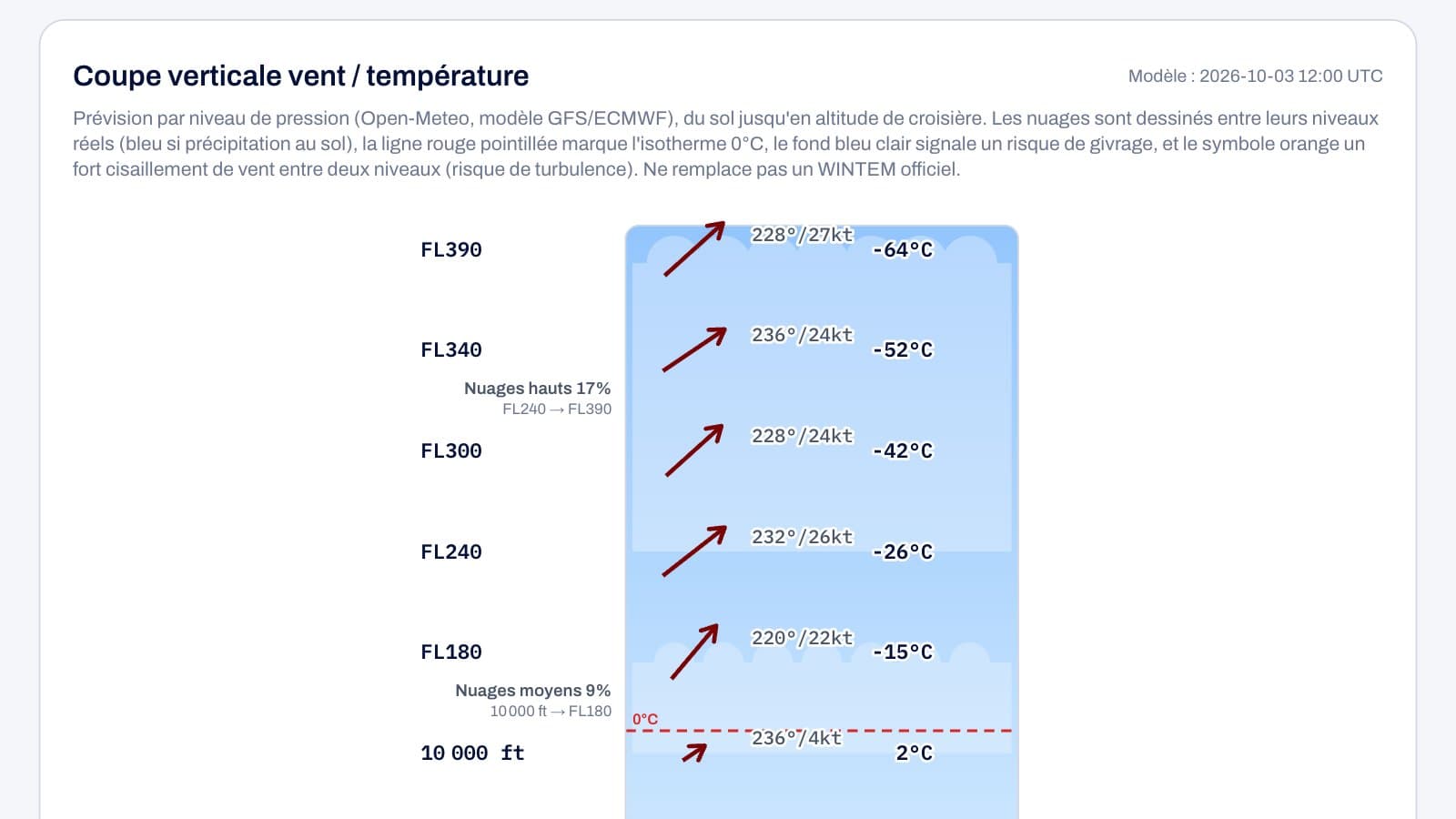
Below the map of nearby aerodromes, the vertical cross-section gives forecast wind and temperature by level, from the ground up to cruising altitude, along with cloud layers, the 0 °C isotherm and layers where icing is possible. The aerodrome's METAR and TAF are shown as published and decoded in plain language, with the flight category (VFR, MVFR, IFR, LIFR) and the wind components on the runways.
Lastly, the day-and-night block shows sunrise and sunset times along with aeronautical night, useful for knowing how late a day VFR flight can still be carried out.
For revising weather for the BIA, PPL and ATPL
These tools are designed to help you understand aviation weather through real-world cases: linking a METAR to what the radar and stations are showing, watching a front move in, comparing a forecast to the actual observation. These are revision tools: for an actual flight, the official weather briefing remains the reference.
To practise exam-style questions, ForAllPilots' BIA, PPL and ATPL question banks cover the whole of meteorology, and the glossary explains the acronyms used in weather messages.